Eby Adds 127,000 Hectares to the 30x30 Watchlist
The government calls it conservation planning. Workers, communities and mineral-rights holders should read the fine print before the map hardens.
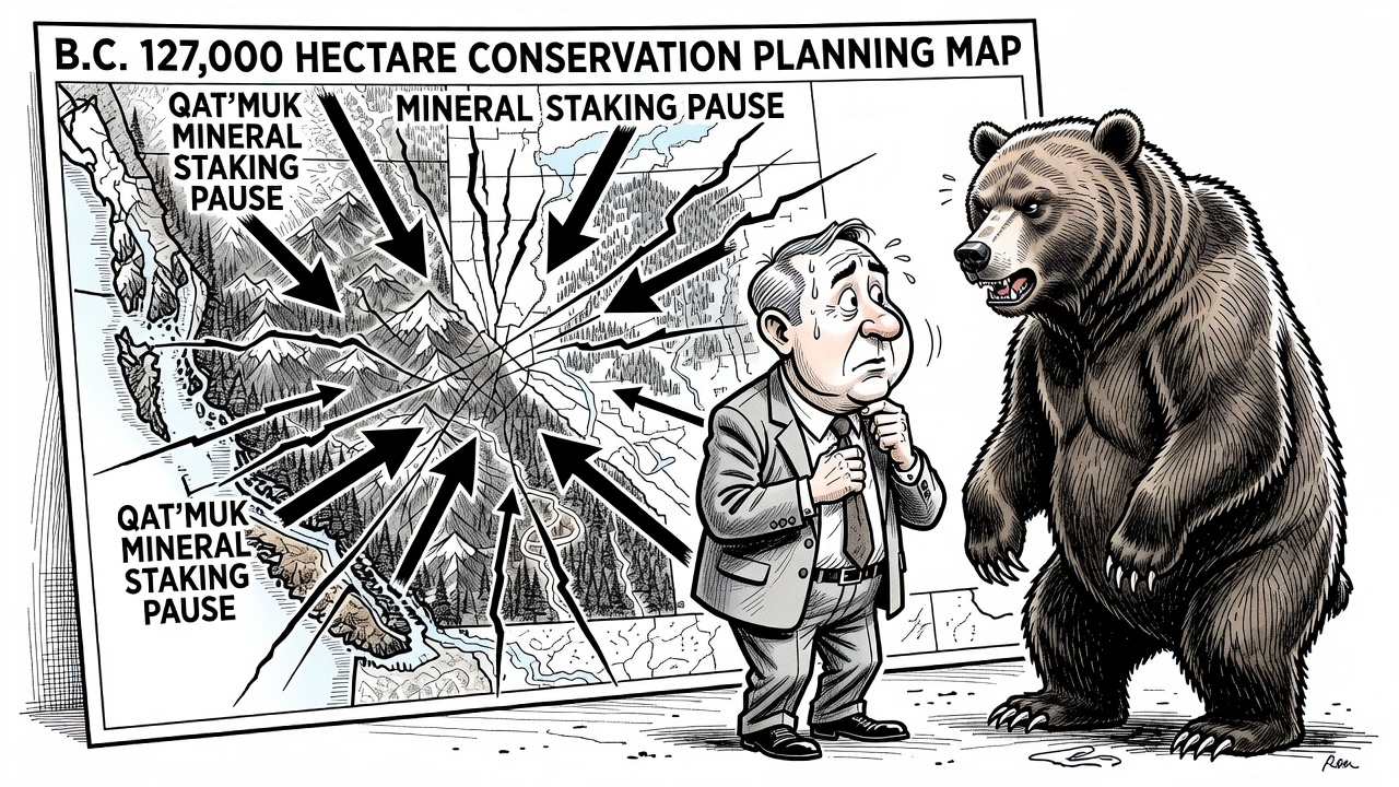
Conservation planning is not automatically a scandal. But locking up uncertainty first and asking the public later is exactly how trust gets broken.
David Eby’s government has put another 127,000 hectares onto B.C.’s conservation-planning map, and the public deserves to understand what that means before the province turns another “planning process” into a done deal.
The Ministry of Water, Land and Resource Stewardship announced July 6 that work is underway with First Nations and other partners on three proposed conservation-planning areas: Qat’muk, west of Invermere; Skagit Headwaters, in the Manning Park area; and Raush Valley, south of McBride in the Robson Valley. The province says the combined areas cover approximately 127,000 hectares and would support its goal of protecting 30 per cent of B.C.’s land and inland waters by 2030.
That is the government’s claim. The accountability question is what happens to rural jobs, resource investment, recreation access and existing rights while Victoria pursues that target.
The sharpest detail is in Qat’muk. The government says a conservation-planning process could recommend conserving 70,000 hectares connecting the Bugaboo and Purcell Mountain protected areas. On the same day the announcement was issued, the province implemented a three-year pause on applications for new mineral tenures in that area. The release says the pause does not restrict current mining-tenure holders from normal, everyday operations in the proposed conservation area.
That caveat matters. So does the freeze. A three-year pause is not a permanent protected-area designation, and nobody should pretend it is. But for anyone trying to raise capital, explore mineral potential or plan long-term work in the region, a government-imposed pause is a very real signal: the map may be changing, and the rules may change with it.
The Skagit Headwaters proposal is smaller, about 5,800 hectares of Crown land between E.C. Manning Provincial Park and Skagit Valley Provincial Park. The province says there are no existing tenures in that area and that a 2022 restriction on acquiring mineral tenures is already in place. Raush Valley is larger, about 51,000 hectares, described by the province as a largely undeveloped and biodiverse watershed near existing protected areas.
British Columbians can support clean water, wildlife habitat and responsible conservation while still demanding honest process. Public engagement is supposed to come in fall 2026, and recommendations are supposed to be drafted before final decisions are made. Good. Then the province should put the maps, tenure implications, economic analysis and proposed access rules in front of the public before asking people to trust another 30x30 promise.
The NDP keeps selling land-use change as partnership and planning. Voters should insist on transparency before the planning becomes policy.